Uncrewed surveys and subsea positioning
USV-based geophysical surveys with Exail DriX H-8, ROV services and LBL positioning rental — in Europe and worldwide.
Official European representative of WAMS Subsea
Uncrewed surface vessels are a step-change in survey efficiency. Through our partnership with WAMS Subsea (Brazil), we give European clients access to Exail DriX platforms and subsea positioning equipment.
Less offshore cost, a lower environmental footprint and safe operations in high-risk or restricted areas — with data quality that meets IHO standards.
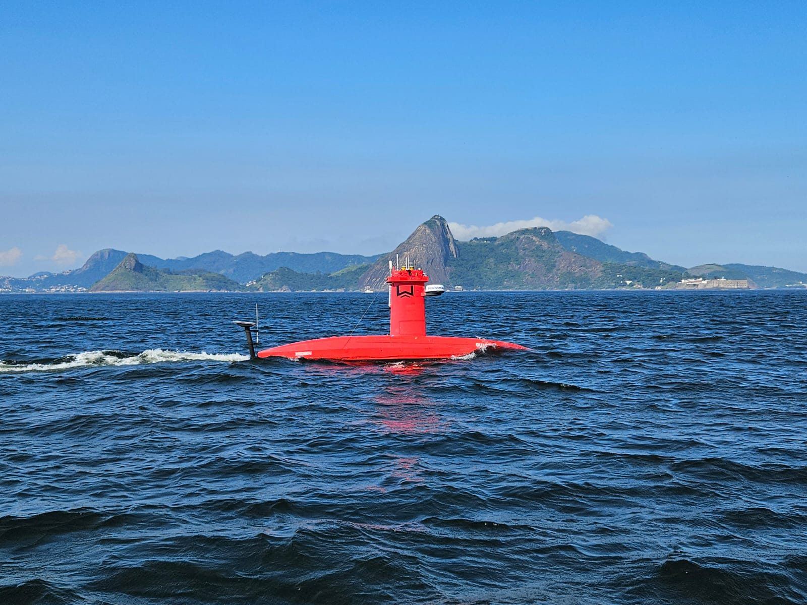
Exail DriX H-8
High-resolution hydrographic and geophysical surveys from an uncrewed surface vessel — operated remotely, for days at a time, without a large survey ship.
- Multibeam echosounder (MBES)
- Sub-bottom profiling (SBP)
- Nearshore & shallow water
- Remote ops via satellite & shore control
- Multi-day endurance
- IHO-compliant data quality
ROV services
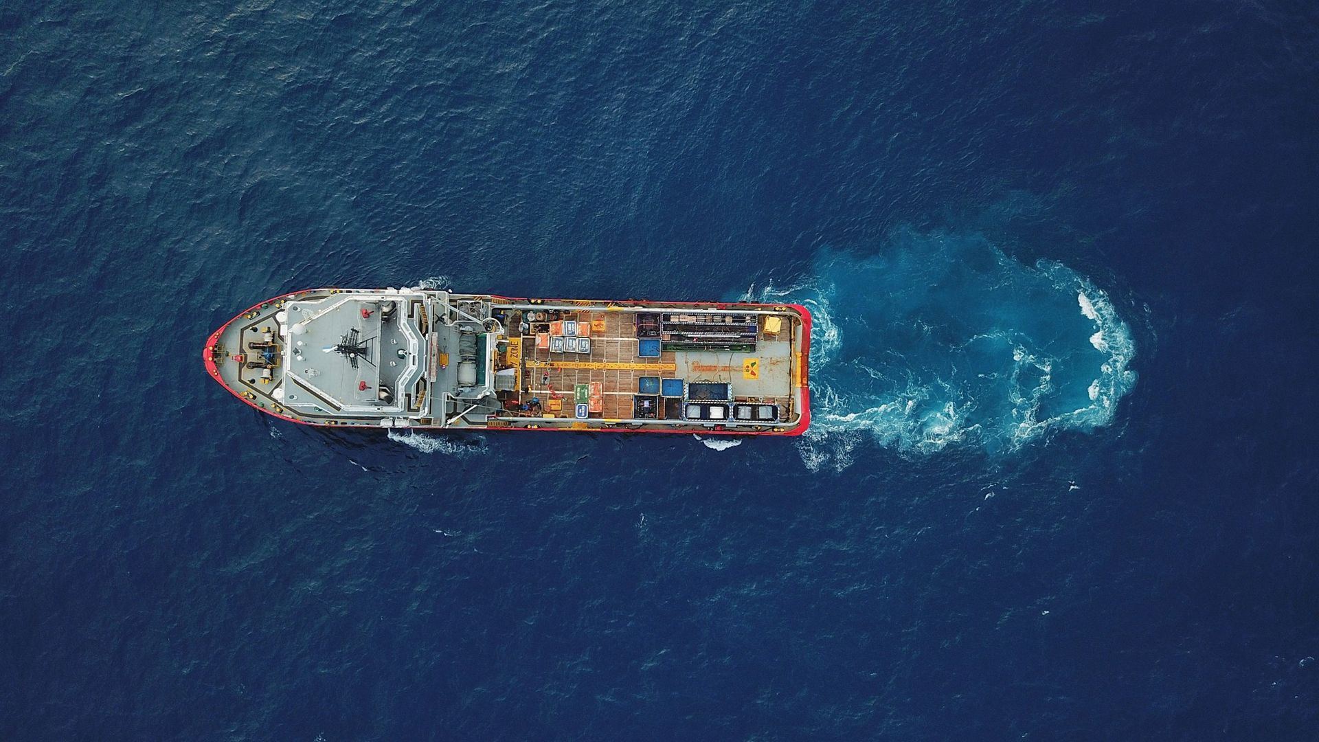
Two classes of remotely operated vehicles for underwater inspection without divers: compact suitcase ROVs from QYSEA, launched by one person from a quay, small boat or vessel deck, and observation-class ROVs from VVLAI, with more thrust and payload for offshore inspection and survey support.
- Hull, propeller & sea-chest inspection
- Quay walls & port structures
- Pipeline & subsea structure inspection
- Offshore wind foundations & cables
- Survey & construction support
- Damage & incident assessment
LBL and sensors rental
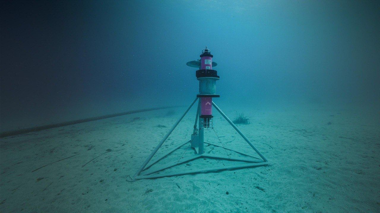
Rental of Exail LBL arrays for accurate subsea positioning in shallow and deep water — with support from array design to calibration. Alongside LBL, USBL, INS, MBES, SVP and CTD are also available for rent.
- Beacon supply & configuration
- Array design & deployment
- USBL / INS integration
- Calibration & positioning workflows
- USBL, INS, MBES, SVP & CTD
- Short- and long-term rental